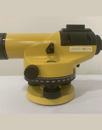
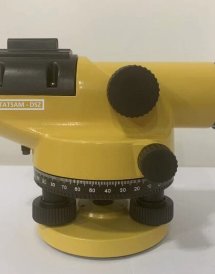
Automatic Optical Level (Model : Dumpy Level DSZ-2)
Survey Instruments & AccessoriesPRODUCT FEATURES
> High Resolution Telescope
> Standard Deviation : 0.5-1.5mm (as per models)
> Wide range of Applications e.g. Topographic survey, Tunnel & road constructions etc.
> High level of Accuracy
> Ease of Operation
> Wide network of After Sales Support
> Availability of Extended Warranty at Nominal Cost
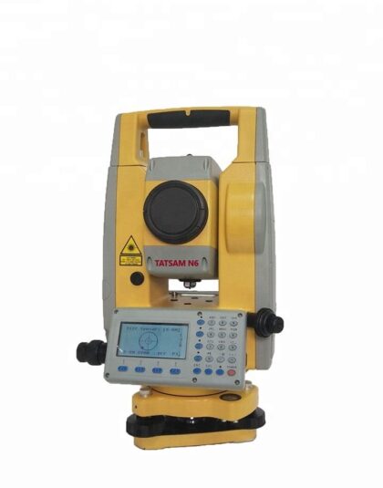
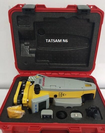
Total Station for Surveying (Model : TATSAM N9)
Civil Engineering Equipments,Survey Instruments & AccessoriesProduct Features :
New-designed Road Program!
The new road program offers the convienent measurement, managing, editing and laying out your job on the site blueprint. It can calculate the horizontal and vertical curve in arbitrary geometric design and allows the radius of horizontal curve discontinuous changing and coordinates inverse & resection measurement.
One-key Data Export : Support’s 300/600 original data, .DAT coordinate data, .CSV coordinate data and .DXF format, which can be seamless converse to the third-party software, for example AutoCAD to finish the job.
Easier Coding: extended the coding characters in 19 digit.
New Icon on Side: for a clear status of equipments.
Optimized Interface: support Bluetooth communications to external data collectors.
- 2″ / 5″ angle accuracy
- Fast (0.3s) and stable (600m) reflectorless measurement
- New-designed road program
- 32,000 points storage, up to external 32G memory
- Tough and reliable under all-weather construction


