Description
DETAILED SPECIFICATIONS :
New-designed Road Program!
The new road program offers the convienent measurement, managing, editing and laying out your job on the site blueprint. It can calculate the horizontal and vertical curve in arbitrary geometric design and allows the radius of horizontal curve discontinuous changing and coordinates inverse & resection measurement.
One-key Data Export: support 300/600 original data, .DAT coordinate data, .CSV coordinate data and .DXF format, which can be seamless converse to the third-party software, for example AutoCAD to finish the job.
Easier Coding: extended the coding characters in 19 digit.
New Icon on Side: for a clear status of equipments.
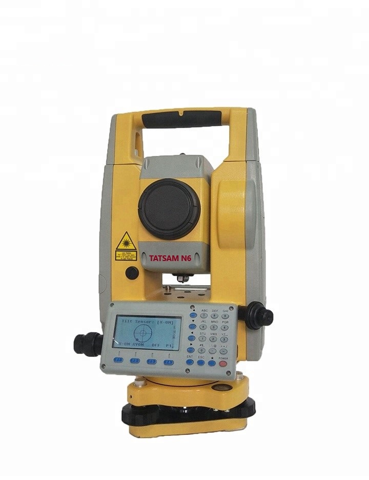
Optimized Interface: support Bluetooth communications to external data collectors.
| TATSAM N6 2″ | TATSAM N6 5″ | TATSAM N6 2″ | TATSAM N6 5″ | ||||
| Distance Measurement | Magnification | 30x | |||||
| Max. Range | Reflectorless | 600m | Field of view | 1°30′ | |||
| Single Prism | 5000m | Minimum Focus Distance | 1.4m | ||||
| *Object in sh | ade,or sky overcast | Resolving Power | 3″ | ||||
| Accuracy | Reflectorless | ±(3+2ppm×D)mm | Reticle Illumination | Adjustable | |||
| Reflector | ±(2+2ppm×D)mm | Automatic Compensator | |||||
| Reading | Max: 99999999.9999m Min: 0.1mm | System | Dual axis Liquid-electric | ||||
| Measuring Time | Reflectorless | 0.3-3s | Working Range | ±4′ | |||
| Reflector | Fine<0.3s; Tracking<0.1s; | Accuracy | 1″ | ||||
| Atmospheric Correction | Manual Input, Auto Correction | Vial | |||||
| Atmospheric Refraction and
Earth Curvature Correction |
Manual Input, Auto Correction | Plate Vial | 30″/2 mm | ||||
| Circular Vial | 8′/2 mm | ||||||
| Prism Constant | Manual Input, Auto Correction | Optical Plummet(option) | |||||
| Dist.Unit | Meter/US.Feet/International Feet/
Feet-inch optional |
Image | Erect | ||||
| Magnification | 3x | ||||||
| Angle Measurement | Focusing Range | 0.5m – ∞ | |||||
| Measuring Method | Absolute Continuous | Field of View | 5° | ||||
| Dia. of Encoder Disk | 79mm | On-Board Battery | |||||
| Minimum Reading | 1″/5″ | Type | Rechargeable Lithium Battery | ||||
| Accuracy | 2″ | 5″ | Voltage | 7.4V dc | |||
| Detection Method | Horizontal: Dual, Vertical: Dual | Continuous Operation Time | 8 hrs | ||||
| Telescope | Others | ||||||
| Image | Erect | IP Standard | IP55 | ||||
| Tube Length | 154mm | Keyboard | Alphanumeric 24 keys | ||||
| Effective Aperture | 45mm, (EDM 50mm) | Display | LCD 6 Iines, Digtial Screen | ||||
| Data Communication | RS-232, USB, SD card | ||||||
| Temperature | ﹣20℃~﹢50℃ | ||||||
| Dimension and weight | 160×150×330mm, 5.2kg | ||||||

Reviews
There are no reviews yet.